Applications
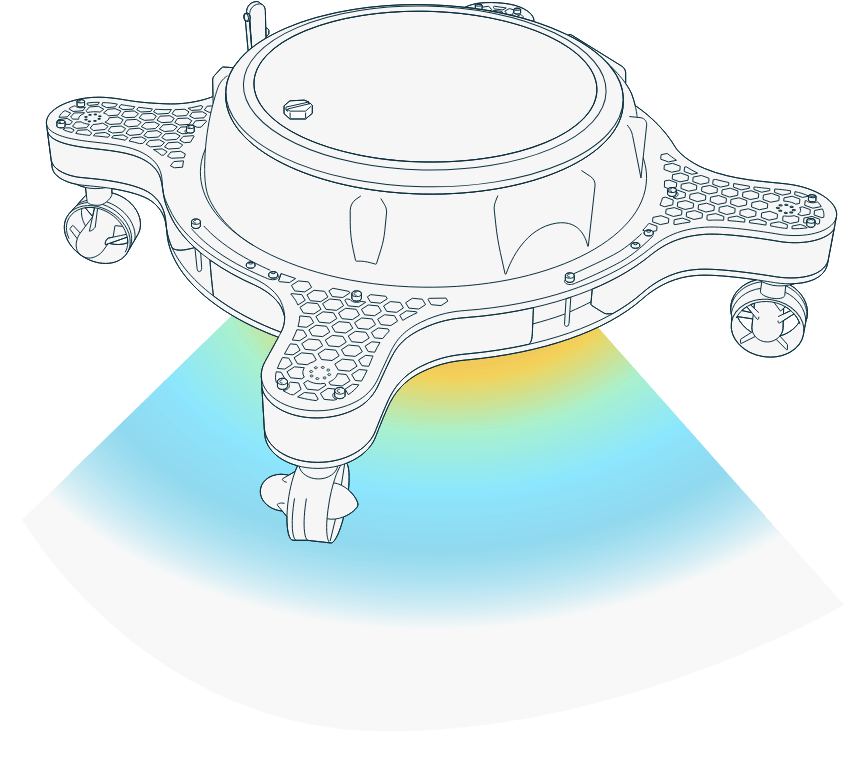
Bathymetry Survey
Bathymetry is the study of underwater depth of lake or ocean floors i.e. it is the underwater equivalent to topography.
Bathymetric maps or charts show seafloor relief or terrain as depth contour lines (isobaths) or color Digital Terrain Model to illustrate the depths being presented.
Explore moreR&D – Open multipurpose development platform
R&D associated with autonomous robotic vehicles, requires development of versatile and advanced capabilities related to autonomous operation such as mission planning, sensor fusion, perception and decision making or operational and energy efficiency.
Portable, highly maneuverable multi-purpose Omni-X vehicle, ready for operation and based on software architecture suitable for further development, represents an ideal platform for testing, experimentation and evaluation.
Explore more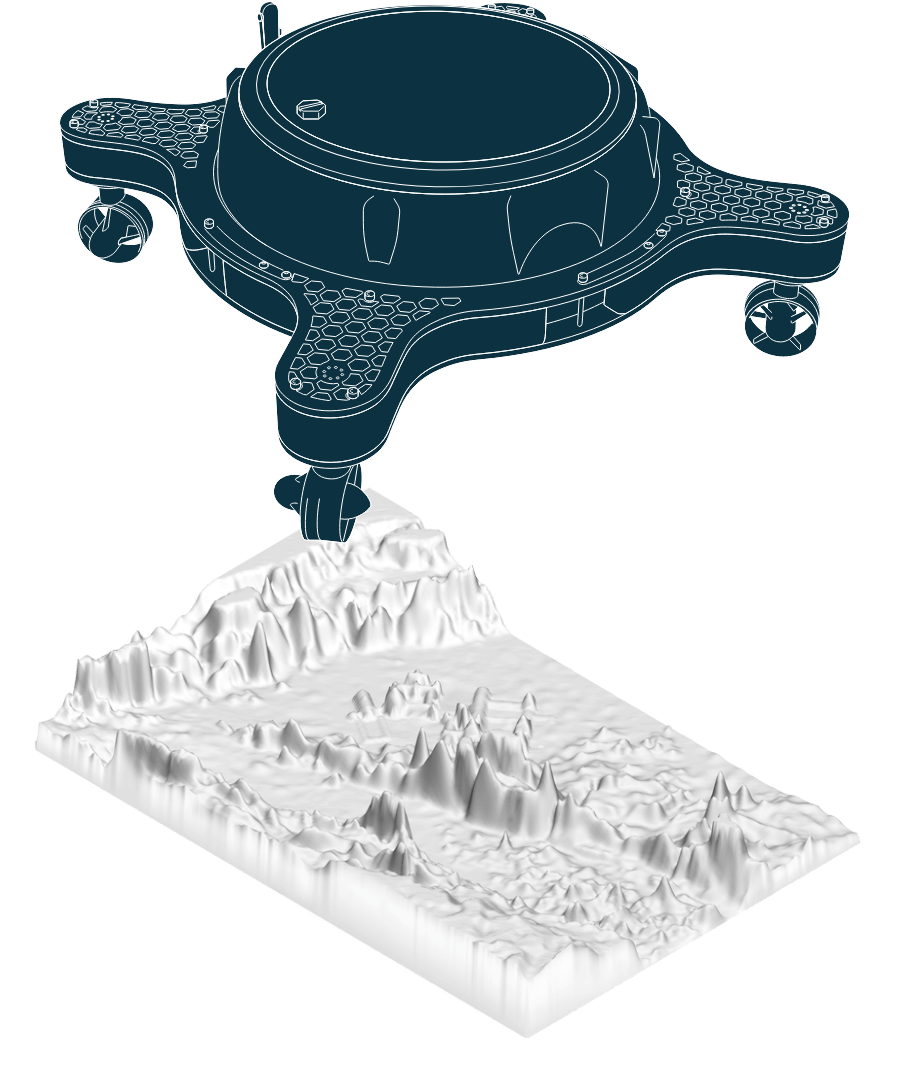
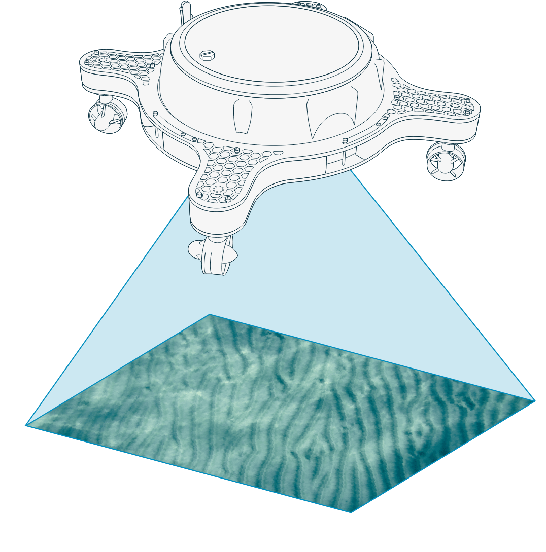
Visual-Optical Survey
Visual survey is technique that provides imagery or video of the underwater environment taken from the USV. Camera can be pointing down, for seafloor survey, pointing forward or to the side for marine structure survey (e.g. ship hull or pier or tilt camera for general underwater visual inspection).
The results are in the form of geo-referenced raw imagery or video or in post-processed form, such as photomosaic or 3D reconstruction of underwater objects.
Explore moreWater Quality Survey
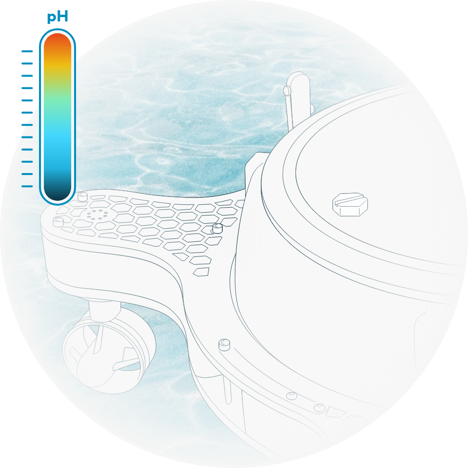
Water quality survey measures chemical, physical or biological characteristics of water relative to the requirements.
Autonomous in-situ measurement of the large areas significantly reduces the time and effort for that task. In case of water pollution generated by accidental spill of hazardous materials, the environmental survey performed by USV-based system would be of great help providing rapid understanding of the location and the extent of the spill, to effectively establish an appropriate response.
Explore more