Bathymetry Survey
Bathymetry is the study of underwater depth of lake or ocean floors i.e. it is the underwater equivalent to topography. Bathymetric maps or charts show seafloor relief or terrain as depth contour lines (isobaths) or color Digital Terrain Model to illustrate the depths being presented.

Users
Customers that need an autonomous or remotely operated portable system for mapping/surveying of seafloor relief in applications such as:
- hydrographic surveying – bathymetric mapping of ports & marinas
- hydrographic surveying – bathymetric mapping of navigation channels/routes prior and after dredging of the channels, required to maintain safe navigation and access to Ports
- subsea cable and pipeline installation, for work such as pre-Lowering bathymetric survey or intermediate survey
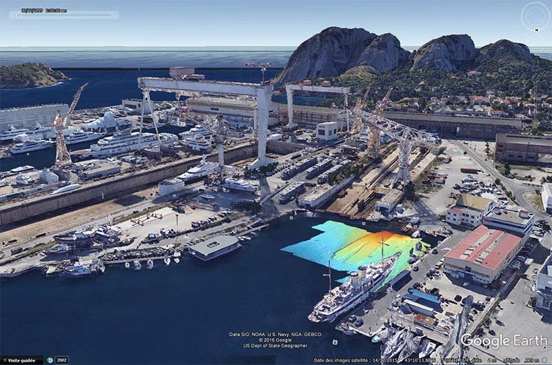
- bathymetric mapping of submerged costal archaeological sites, to monitor or reconstruct submerged sites or landscapes
- bathymetric surveying for marine habitat mapping.
System
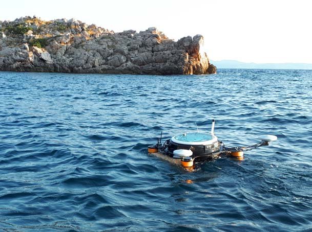
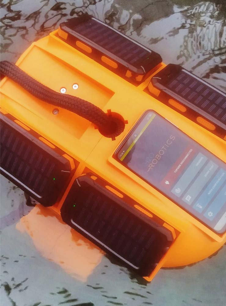
OMNI vehicle is equipped with the multibeam profiling sonar and two high-precision GPSs for accurate and precise position and heading estimation. We successfully integrated and tested system with the low-cost Norbit iWBMS profiling sonar (https://norbit.com/subsea/products/ ). Integration of other portable profiling sonar is possible.
Optional: shoreside base station provides extended wireless link operator-vehicle and GPS RTK functionality (serves as portable RTK base).
Note: Software to process acquired log files is, not provided by H2O-Robotics.
Operation flow
- Attach and connect the sonar to the vehicle. Turn the vehicle on and check if all processes are running correctly.
- Perform survey
- Scenario 1: Autonomous bathymetric survey/mapping of pre-defined area. Depth range: 1-100 meters.
- Using supporting planning and diagnostic software, pre-plan the mission in the area of interest and deploy the vehicle
- Monitor the mission progress and quality of acquired data through the wireless link
- Upon completion, recover the system and download log files from the vehicle
- Scenario 2: Manual survey with remotely operated USV for mapping close to marine structures e.g. around bridge pillars, ship hull etc.
- Deploy and pilot the vehicle to the survey site
- Monitor the quality of acquired data through the wireless link
- Upon completion, recover the system and download log files from the vehicle
- Scenario 1: Autonomous bathymetric survey/mapping of pre-defined area. Depth range: 1-100 meters.
- Process (correct, clean, analyse) acquired bathymetric log files for the final result.
Case studies

View our other products
Available for rent and purchasing
Available for rent and purchasing
Available for rent and purchasing
Stay connected
Join our newsletter feed and stay up to date with all the latest news, case studies and products!
