Case studies
Submerged archaeological site mapping
See gallery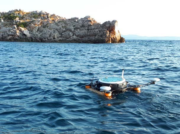
Water channel and Port bathymetry survey
See gallery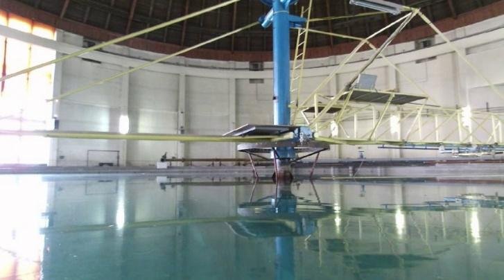
Visual survey of marine structure
See gallery
Submerged archaeological site mapping
See gallery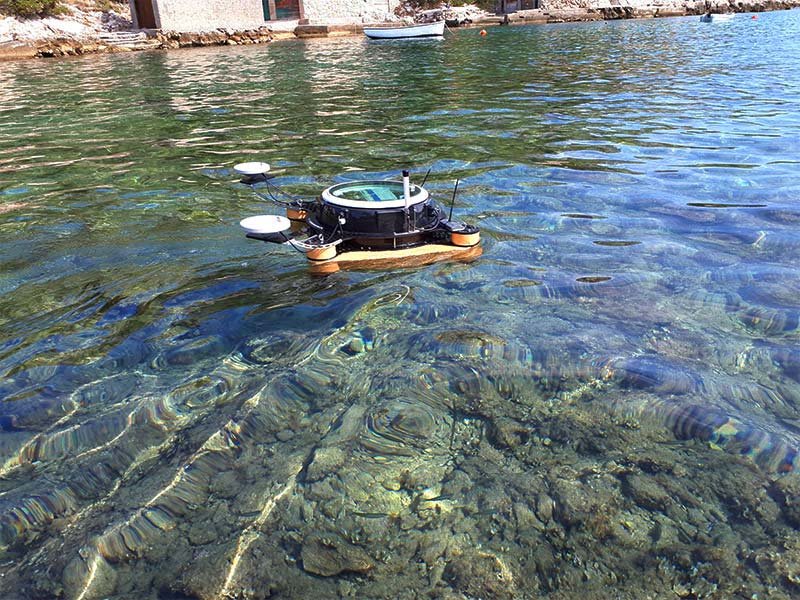
Shallow water habitat mapping (P. Oceanica)
See gallery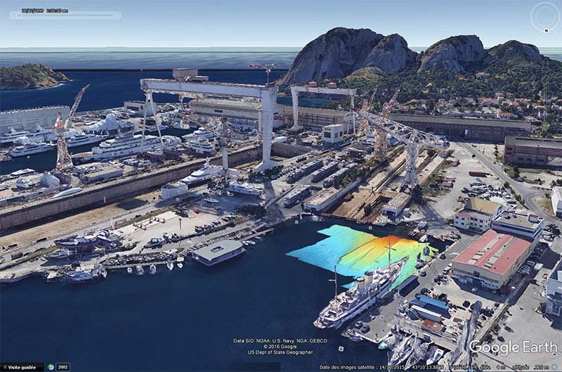
Port bathymetry survey
See gallery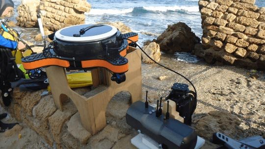
Mapping of submerged archaeological site
See galleryNews
Read Now! Articles, view videos, discover new systems, launches, events and news!


Stay connected
Join our newsletter feed and stay up to date with all the latest news, case studies and products!

Stay connected
Join our newsletter feed and stay up to date with all the latest news, case studies and products!