Visual-Optical Survey
Visual survey is technique that provides imagery or video of the underwater environment taken from the USV. Camera can be pointing down, for seafloor survey, pointing forward or to the side for marine structure survey (e.g. ship hull or pier or tilt camera for general underwater visual inspection). The results are in the form of geo-referenced raw imagery or video or in post-processed form, such as photomosaic or 3D reconstruction of underwater objects.
Users
Customers that need an autonomous or remotely operated portable system for surface or shallow water visual surveying for the applications such as:
- visual surveying or inspection of ports, marinas and navigation channels/routes
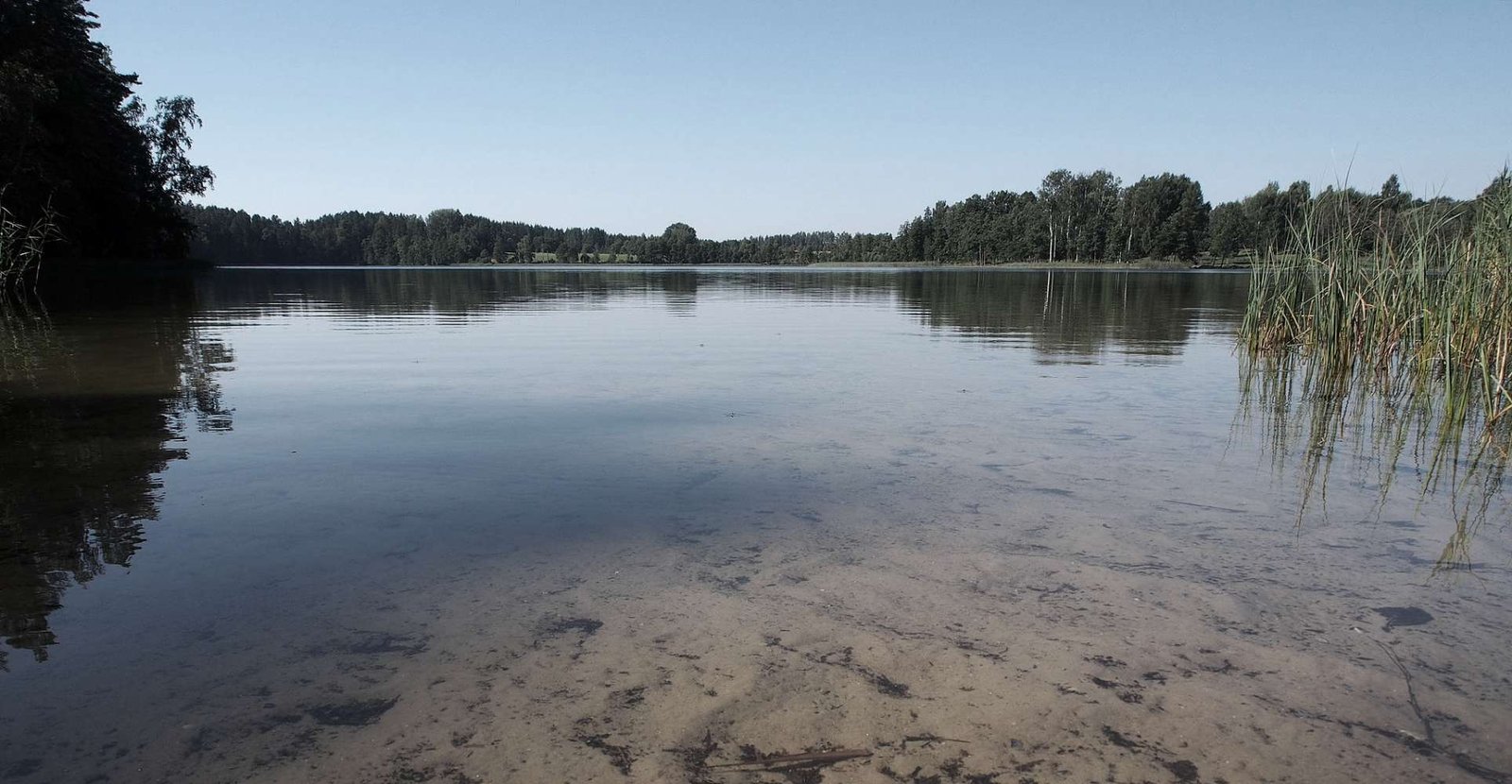
- shallow water habitat mapping
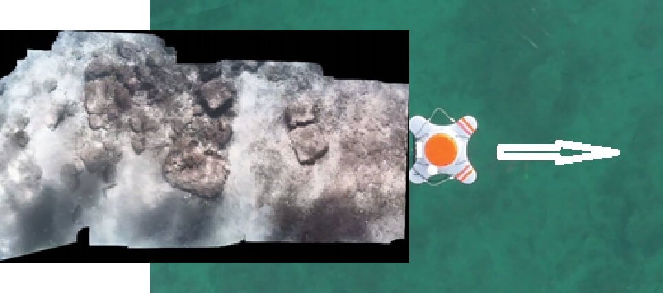
- submerged costal archaeological sites mapping, monitoring or 3D reconstruction
- tourism and recreation: to bring the live images of coastal wrecks and sea life to the customers in high resolution
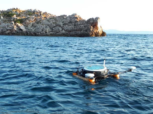
System
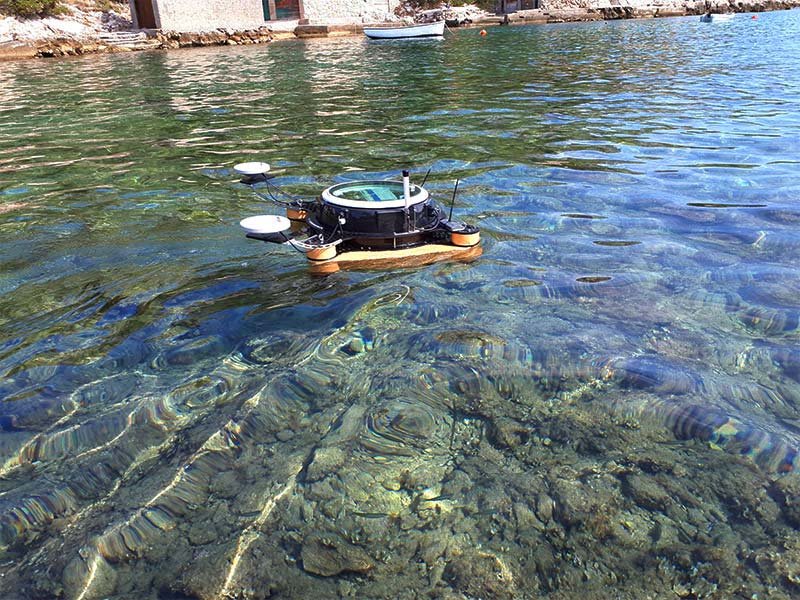
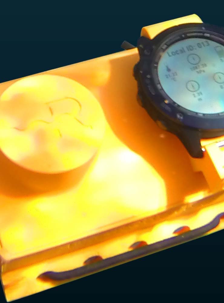
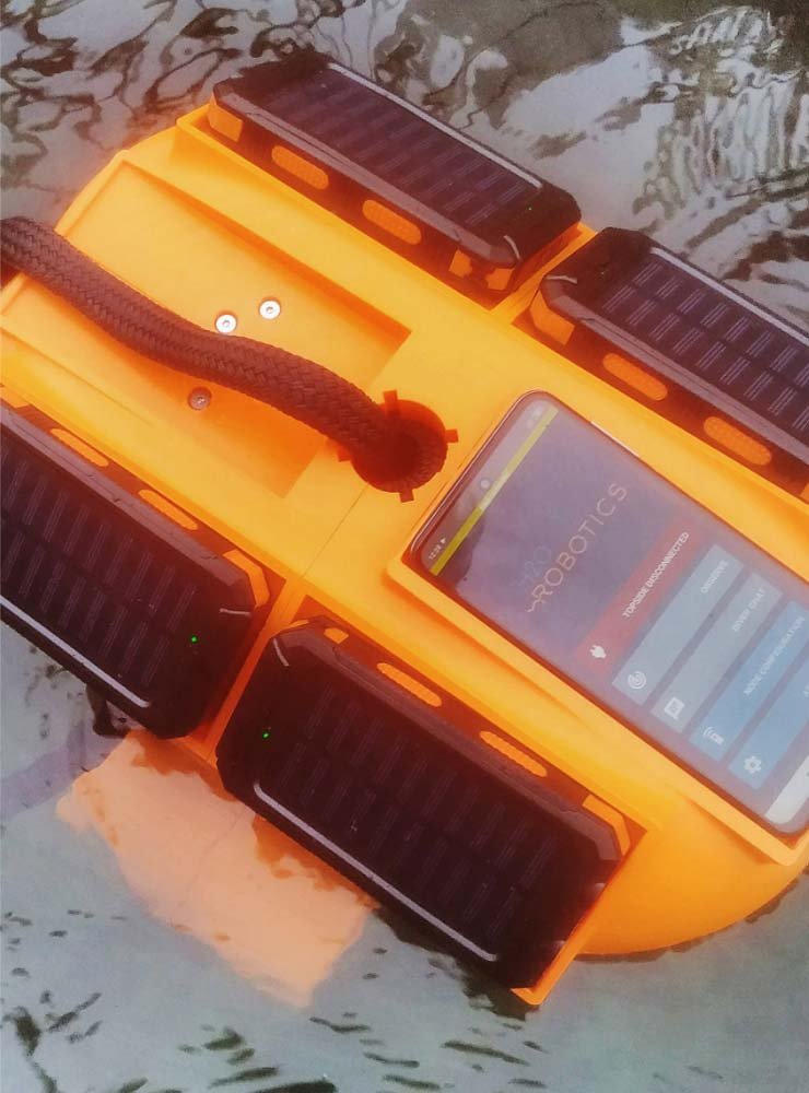
OMNI vehicle equipped with the underwater camera (fixed or with tilt) and one or two high-precision GPSs for navigation and data geo-referencing. Integration of custom camera is an option.
Optional: shoreside base station provides extended wireless link operator-vehicle and GPS RTK functionality (serves as portable RTK base).
Note: Software for image/video processing is not provided by H2O-Robotics.
Operation flow
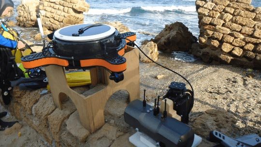
- Attach and connect the camera to the vehicle. Turn the vehicle on and check if all processes are running correctly.
- Perform survey
- Scenario 1: Autonomous visual survey/mapping of pre-defined area. Depth range: depends on visibility.
- Using supporting planning and diagnostic software, pre-plan the mission in the area of interest and deploy the vehicle
- Wireless link allows for the mission progress monitoring as well as for video feed watching in real- time
- Upon completion, recover the system and download the log files from the vehicle
- Scenario 2: Manual, remote USV operation for inspection/survey of marine structures, ship hull or in congested areas
- Deploy and pilot the vehicle to the survey site
- Watch the video feed to ensure quality of acquired data
- Upon completion, recover the system and download log files from the vehicle
- Scenario 1: Autonomous visual survey/mapping of pre-defined area. Depth range: depends on visibility.
- Process acquired log files for the final result.
Case studies

View our other products
Available for rent and purchasing
Available for rent and purchasing
Available for rent and purchasing
Stay connected
Join our newsletter feed and stay up to date with all the latest news, case studies and products!
